By Township Canada
Ontario Uses Lot and Concession Instead of DLS - Here's What That Means for Property Searches
Ontario lot concession to GPS explained. Why Ontario uses lots and concessions instead of the Dominion Land Survey, and how to convert them to coordinates.
A Toronto-based real estate agent gets a referral for a rural property in Victoria County. The title reads Lot 14, Concession 3, Geographic Township of Ops. No quarter section. No LSD. No W4M. If this agent has only ever worked with western Canadian land descriptions, the notation is completely unfamiliar - because Ontario uses a different survey system entirely.
This is the reality for anyone doing property searches in rural Ontario. The Dominion Land Survey (DLS) that covers Alberta, Saskatchewan, and Manitoba does not apply here. Ontario was surveyed earlier, under a British colonial model, and its legal land descriptions follow a lot and concession format tied to named geographic townships. If you need to convert an Ontario lot concession to GPS coordinates, the first step is understanding what you're looking at.
Why Ontario Doesn't Use the Dominion Land Survey
The DLS was established in the 1870s to organize the western prairies for settlement. It laid a uniform rectangular grid across the landscape, numbered from fixed meridians, dividing land into townships, sections, and quarter sections. That system works well on the flat, open prairie - but it was never applied to Ontario.
Ontario's surveys began decades earlier, in the 1780s, after the American Revolution. The British government needed to distribute land to Loyalist settlers arriving from the former colonies. Surveyors adapted to Ontario's terrain - its lakes, rivers, and dense forests - by creating named geographic townships and dividing them into concession strips and lots. Each township has its own internal grid, shaped by local geography rather than a single province-wide coordinate system.
The result: Ontario has hundreds of uniquely named geographic townships, each with its own lot-and-concession numbering. Unlike the DLS, where you can locate any parcel using a meridian, range, and township number, Ontario's system requires you to know the township name to find anything.
Reading an Ontario Lot and Concession Description
Take that Victoria County title: Lot 14, Concession 3, Geographic Township of Ops.
Each component identifies a layer of the location:
- Geographic Township of Ops - the named survey township. Ops is a real township in what is now the City of Kawartha Lakes (formerly Victoria County). Township names in Ontario come from British colonial administrators, military figures, and local geography.
- Concession 3 - the third concession strip within Ops Township. Concessions are long, roughly rectangular bands of land running across the township, numbered outward from a baseline - usually a lake shore, river, or major road.
- Lot 14 - the fourteenth lot within that concession. Lots run perpendicular to the concession boundaries, numbered sequentially from one end of the township to the other.
Together, these three components pinpoint a specific parcel. In most Ontario townships, a standard lot is around 100 acres - smaller than the 160-acre quarter section used in the western DLS grid. (Ontario instead uses lots and concessions.)
How Concession Roads Define Ontario's Rural Grid
If you've ever driven through rural Ontario, you've noticed the pattern: straight, evenly spaced roads running in a grid across farmland. Those roads follow the concession boundaries. The road between Concession 2 and Concession 3 is literally called the "concession road." Side roads mark lot boundaries.
This grid is less uniform than the prairie DLS grid. Ontario townships were surveyed at different times, by different surveyors, with different baselines. Some townships have concessions running north-south, others run east-west or follow a river angle. Lot widths vary. The numbering direction changes between townships. This is why a lot-and-concession description without the township name is meaningless - Lot 14, Concession 3 could be in hundreds of different places across the province.
How to Convert an Ontario Lot and Concession to GPS
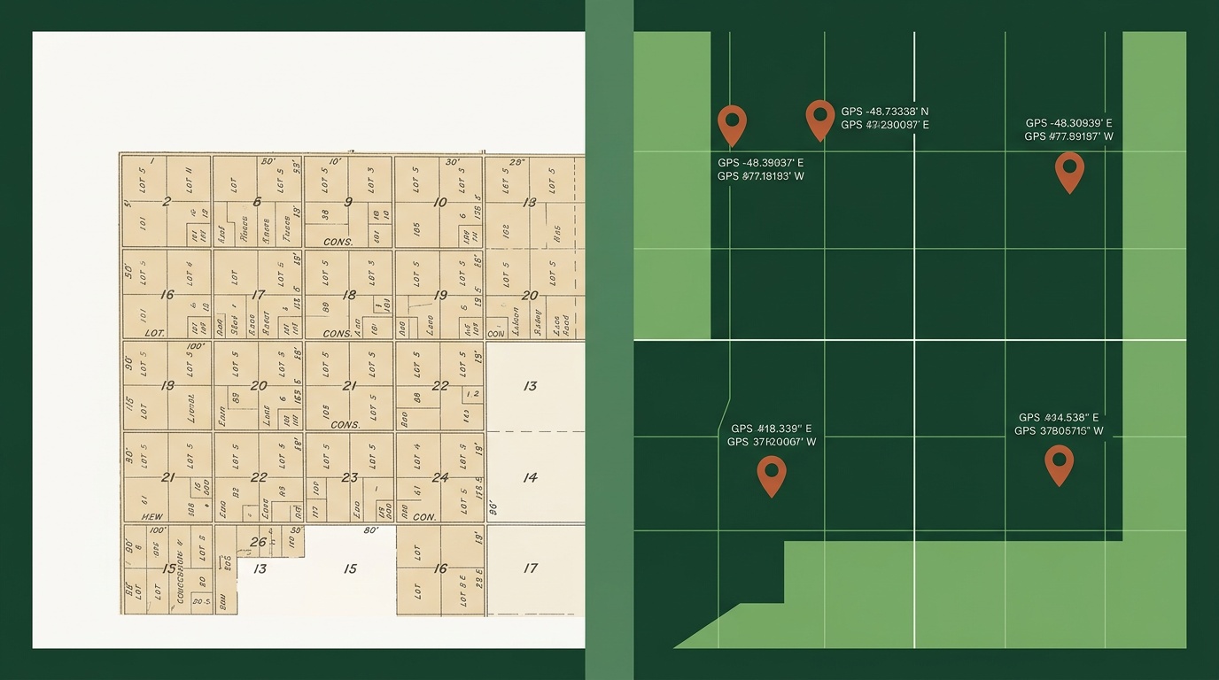
The conversion process is the same one you'd use for any Canadian legal land description. Go to Township Canada's Ontario Geographic Township Converter and enter the description. Type the township name, concession number, and lot number, and the converter returns the GPS coordinates for the centre of that parcel.
For the Victoria County example: enter Lot 14, Concession 3, Ops and you get back a latitude and longitude near Lindsay, Ontario - approximately 44.35°N, 78.74°W. From there, you can view the parcel on satellite imagery, check road access, or export the coordinates for use in GIS software.

The converter works for any of Ontario's geographic townships. Whether you're looking up a parcel in Adjala-Tosorontio near Barrie, a lot in Thurlow near Belleville, or a concession in the District of Algoma in northern Ontario, the process is the same: township name, concession, lot, GPS coordinates back in seconds.
Where Ontario Lot and Concession Descriptions Appear
If you work with Ontario rural property, you'll encounter lot and concession descriptions in:
- Land titles and deeds - every Ontario rural title registered before the modern parcel register system uses lot-concession-township as the primary identifier
- Older mortgages and discharges - historical mortgage documents reference the lot and concession, not a civic address
- Genealogical land records - Crown land patents going back to the early 1800s are filed by lot, concession, and township. Anyone researching family land history in Ontario will work with this format
- Rural MLS listings - acreage and farmland listings in Ontario frequently include the lot and concession alongside (or instead of) a street address
- Municipal planning applications - severance, rezoning, and building permit applications in rural municipalities reference the lot and concession description from the original survey
- Title examinations - title searchers and real estate lawyers trace ownership chains through records organized by lot and concession
For real estate agents, title examiners, and municipal planners working outside Toronto and Ottawa, lot-and-concession descriptions are part of the daily workflow - the same way DLS descriptions are routine on the prairies.
From Notation to Coordinates
Ontario's lot and concession system is older and less uniform than the western DLS grid, but the core challenge is the same: you have a legal land description on a document and you need to know where it is on a map. The notation is different - township names instead of meridian references, concessions instead of ranges - but the conversion to GPS coordinates is straightforward.
Try the Ontario Geographic Township Converter with any lot-and-concession description. Free lookup, no account required.